Looking south at Provo Peak from the Cascade Sadle
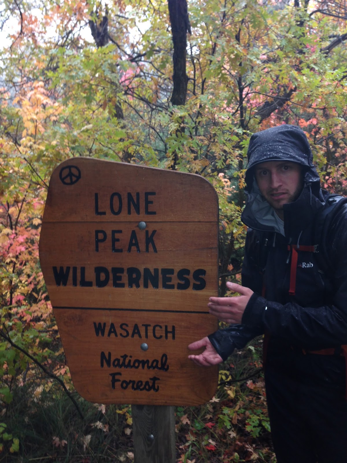
The Wasatch Mountain Range that towers over the Salt Lake Valley and Utah Valley may seem like something that just sits to the east and holds the best skiing on earth, but there's more to them than meets the eye.
Although not as tall as the famous fourteeners of the Colorado Rockies, the Wasatch Range holds many technical and prominent peaks that are incredibly rewarding. One of these peaks/mountains contains some of the busiest trailheads in the area. Mount Timpanogos has a prominence of over 5000 feet and towers over Utah Valley, and may be one of the busiest mountains in the states. With a total elevation of 11,753 feet, it's a test piece for the average hiker to see what they are made of. On any given weekend in the summer, dozens to even hundreds of people are seen on the summit and trails of this peak. But Timpanogos is just one of over 30 peaks along the Wasatch Front that exceed 11,000 feet. Some may only see a couple people on the summit each year, but the level of solitude found just a few minutes from the front door makes the Wasatch Range a coveted peak baggers dream.
On October 8th, 2015 my wife and I welcomed our beautiful daughter, Maylin, into the world. Katie and I in our life together have always made getting into the backcountry a priority. Now that we have a family, we have made sure that the added effort and time to get into the mountains doesn't stop us from that passion we share. Quickly we talked about a goal that we could do as a family to prove that we can conquer the complacency of not getting out, and in the same breath, create a memory for our little family.
Although still in the planning phase, as soon as the snow begins to die off, we will begin our ascent of the many peaks in the Wasatch. The best way to follow the adventure will be here on this blog and also through video on the Backcountry Exposure Youtube Channel.
One of my favorite things about backpacking is the preparation that comes with the anticipation for a trip. I remember getting prepared for my trip down The Paria River with a school class. That trip involved a lot of planning, preparation and mental preparation. Knowing how to get ready for backpacking experiences is vital to whether or not you enjoy yourself out on the trail.
This has lead me to create a series of videos to share with you all about the Essentials of Backpacking. Everything from gear to use, what to buy, and even the ethics behind being a good person in the backcountry. I love to share my knowledge with people and look forward to seeing the evolution of this series. It will primarily be contained on my Youtube Channel, but I will update with each video here as well.
Bucket list... That's really all I can say about Glacier National Park. June 2015 my wife and I set off on a 5 day trip from Salt Lake City to Glacier. We invited some close friends of ours, packed up the Jeep and headed north. After many months of planning and waiting we were finally on our way!
Glacier is amazing! It's probably one of the most beautiful places I've ever been. Everywhere you look you see amazing peaks, beautiful lakes and wildlife. This is a place that everyone needs to visit.
We spent the first two days on the East side of the park and the rest of the trip on the West side. We tried to see as much as we could in the short time we had, but there's no way to see all of the park in one week.
Day 1: After 12 hours of driving we finally made it to Saint Mary, Montana. What a beautiful place! Very small town with a few restaurants and the perfect setting for the beginning of our trip. We spent the first two nights in the Saint Mary campground which was really nice.
Day 2: We spent most of the day around the Many Glacier area of the park. After some driving around we hit the trail towards Red Rock Falls. Not a big waterfall by any means, but an absolutely beautiful place! After a nap and walking around we made the hike back to the car and drove to the Going to the Sun Road. We made our way up the road towards Logan Pass. As we got closer, it started to storm, and it got colder and more rainy. We loved it though.
Day 3: We packed up our things and loaded the Jeep and headed towards the Two Medicine area of the park. After a fantastic breakfast at Luna's in East Glacier Village, we made our way towards the entrance of the park. We noticed a few cars stopped in the road, and when we got it them, we saw what was causing the jam...a bear! I had never seen a bear before, but what a cool thing!
Two medicine is a really neat area of the park. We thought it'd be fun to do the boat tour on the lake. So we boarded the Sinopah and had about a 45 minute tour of the lake with some historical information. I think it's a must for this area. Lots of hiking to do here as well, but we opted out of the hiking this day, and just enjoyed a casual day.
Day 4: We moved over to the West side of the park this day and enjoyed a morning out in a row boat on Lake McDonald. Highly recommend getting out on the lake when you visit. We then drove up the road to Logan pass again and hiked the Hidden lake trail to the overlook. What an incredible view! This is a must regardless of how many people there are!
This place is amazing, and I am leaving out a lot of details here. But part of me wants people to go and experience the place themselves.
Have you ever spent hours trying to find the best place to go camping for the weekend? We do that on occasion at our house. We will try to plan a trip and sometimes we just get overwhelmed because there are so many places to go. You're about to read into a series of posts that will cover some of Utah's best car camping places.
Great car camping in Utah is really just minutes to hours away from your home. Especially if you live in Salt Lake or Utah counties. Within three hours of Salt Lake you can be in the desert, high in the mountains of the Uintas, or even up one of the Cottonwood canyons, enjoying a nice night under the stars.
Our first great car camping in Utah, is Buckhorn Wash. Located in the north end of the San Rafael Swell, Buckhorn Wash or Draw, whichever you want to call it, is a car camping paradise. From Price, you drive south on highway 10 towards Castle Dale. Before you get to Castle Dale, take a left and you will enter BLM land for the San Rafael Swell.
Buckhorn Wash is most popular for the large Pictograph panel that can easily be accessed by a car. The road is really nice going in, and it's only 30 minutes from Castle Dale. The panel is easily one of the largest pictograph panels in Utah. People will take day trips to go see the panel, or you can camp over night in one of the really nice camping spots.
Part of the reason I love Buckhorn so much is because I spent several days there as a child, with my family camping. Buckhorn Wash does have a camp ground you can set up camp at, but it's honestly not the best camping. The wash is about 10 miles long, and the campground is located at the Swinging Bridge where the wash meets the San Rafael River. The camp ground can be buggy and extremely hot during the summer months. So I recommend camping in one of the several spots along the road in the wash. Be careful when you decide to go down though, because some weekends can be packed full of trailers, and large groups of people. I suggest going down during the early days of the week.
What is there to do in Buckhorn Wash?
There are some good hikes that you can go on in the wash. There is a canyon called Calf Canyon that has a good half day of hiking. You can spend some time at the Swinging Bridge and play in the San Rafael River. We love to take our dog down to the river to cool off. You can take a drive out of the wash up to the Wedge overlook. The Wedge often gets the nickname, Little Grand Canyon, as you'll see in a photo, it really has that appearance. You can then go take a drive to the Pictograph Panel and see the amazing pictographs left by the Indians.
We love Buckhorn because it's a great place to get away, avoid large crowds of people, and be in a beautiful place. I highly recommend it.
Great camping about 8 miles from the wash turn off
Great place to take your dog!
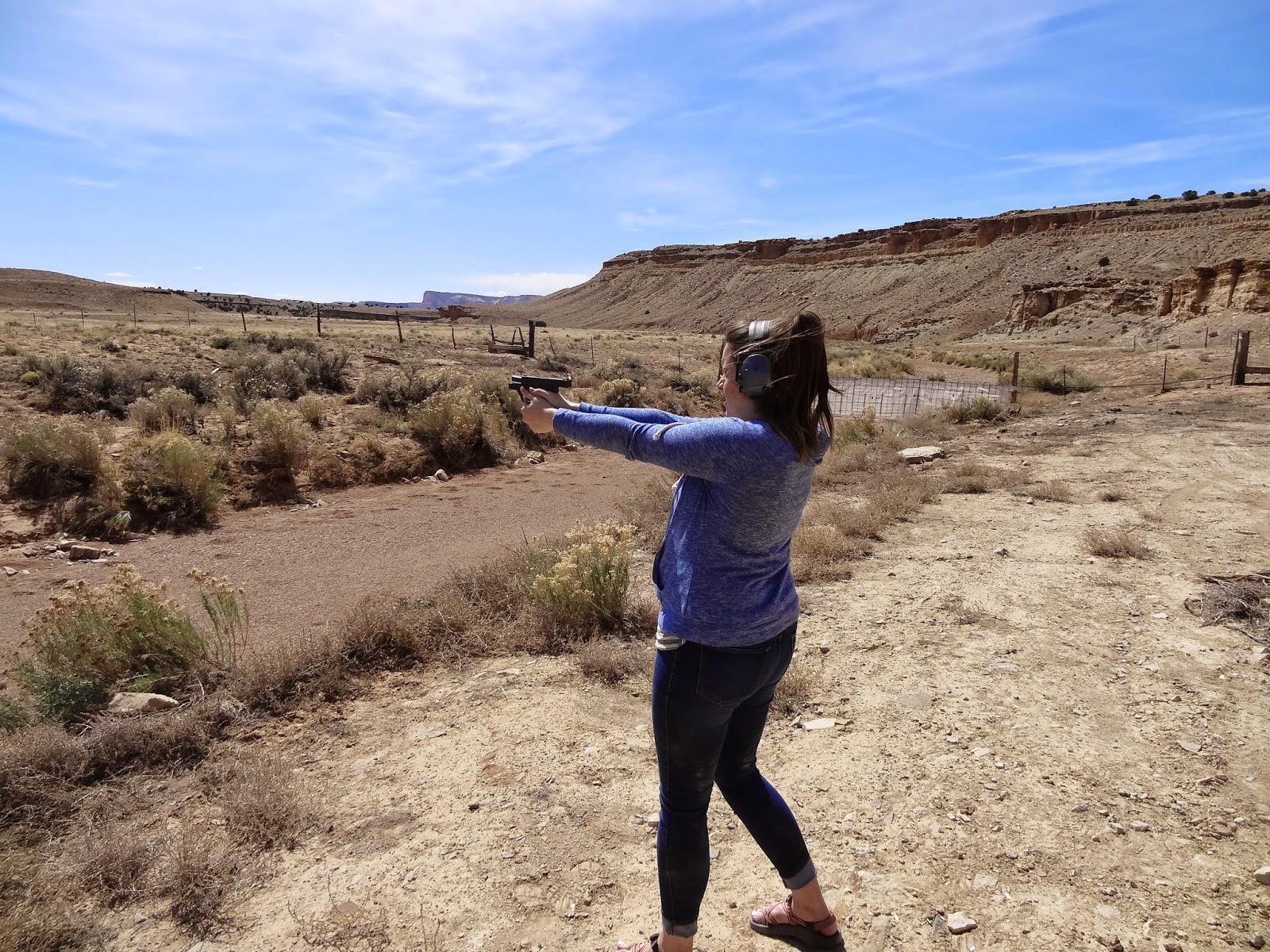
We love to take our guns and shoot to our hearts desire
"May your trails be crooked, winding, lonesome, dangerous, leading to the most amazing view. May your mountains rise into and and above the clouds."
Edward Abbey
The Paria River Canyon is an area of Utah/Arizona that i've always wanted to visit, but never took the leap to make it down there. You hear about Buckskin Gulch all the time and how beautiful it is. Well I finally got the chance to go after putting in a suggestion to one of my school professors. I am a student at Utah Valley University studying Outdoor Recreation Management. This class that I took is an Outdoor Leadership class, focused on teaching leadership skills and group management in the field. A challenge I was looking forward to.
This class involves a six day backpacking trip during the month of March. I was beyond excited about going on this long of a trip.
The Route: Whitehouse Trailhead south to Lee's Ferry
Day 1 - We arrived at the trailhead and would spend the first night at the trailhead. We had a few hours to kill before we needed to setup beds for the night and get ready for the first few miles of hiking in the morning. We played Bocci Ball next to the river and threw rocks at sticks. You know, what all people do to kill time.
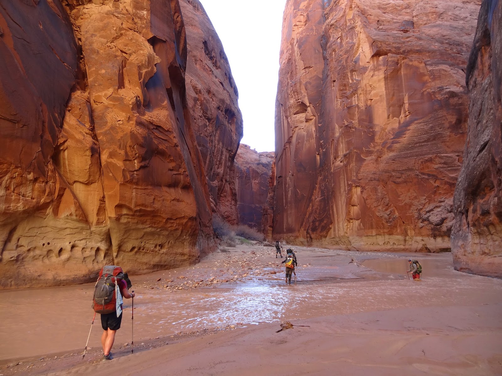
Day 2 - The adventure begins. Adventure is the right word for this day because a lot happened on the first day of hiking. We had a lot of ground to cover, as the first night on the trail would be at the confluence of Buckskin Gulch and the Paria River. The water level at this time of year was at an abnormally high level. The week prior to our departure, the water discharge level at Lee's Ferry was over 200 cubic feet per second. In other words, too high for anyone to hike down. Water level when we got there was mostly never above our knees at the highest, and we were prepared however for lots of time in the water.
Our first ten seconds on the trail involved a river crossing, and over the next mile we either crossed the river at least eight times, or walked in the water cause the walls of the canyon were surrounded by sloppy mud. The mud would become our enemy for the next four days. After several miles we entered the narrows of the canyon. In some areas of the canyon, the walls are maybe ten feet apart from each other. A truly beautiful sight!
By this time it was getting later into the afternoon, the time we call the witching hour (5pm) was soon approaching. We entered a spot of the trail where we had to truly get wet.
Excuse the language - it was cold and miserable!
We had hiked almost 11 miles at this point in the day and we were tired and cold from being in the narrows of the canyon for so long. Through much of the narrows we were hiking in water up to mid thigh and then we came to a section where we had no choice but to get wet. A depth we referred to as nipple deep. I went through and was soaked, and the remaining seven of us all had to go through too. If you've never been in a situation like that, then it's hard to understand. This is a level of discomfort and moral destroyer like no other. The water temperature in the canyon at this point was maybe 40 degrees. This is where everything changed.
We started hiking as fast as we could to get to the confluence of Buckskin and see if we could camp in the one spot that is a few hundred yards up Buckskin Gulch. About 1/4 mile from the confluence, Betsy, our professor lost her balance after one of her trekking poles sunk into the mud. She took a full on swim and was wet from head to toe. Once we got to the confluence, the water and wind coming down the canyon was so incredibly cold. One of the people in our group had a thermometer and dipped it in the water. It was 34 degrees! Luckily the one camp spot was available and we dropped our packs and stripped down to get into some dry clothes, get warm and cook dinner. What was one of the most amazing days of hiking, was also one of the most miserable and cold experiences of my life.
Day 3 - This class two years prior to this trip, went on this exact same trip, and the plan for day 3 is to not cover as many miles because the plan is to hike up Buckskin Gulch to the rock fall a few miles up the canyon. We got up, and to be honest, the thought of taking off nice warm thermals and putting my wet shorts and wet cold shoes back on was far from anything any of us wanted to do. Once we had packed up camp we as a group decided that we would try to hike up Buckskin. Now you should know that most of the time, there is no water running through Buckskin. It's for the most part a dry canyon unless there's been a lot of rain and later in the year is better to hike Buckskin. There however was shin height water running down the canyon and it was soooo cold! I know I sound like im complaining a lot, but it was something i'll never forget.
We started hiking up Buckskin and within minutes we couldn't even feel our feet. It was apparent we weren't going to make it very far up the canyon. We came to a spot where it got super narrow and we used a trekking pole to see how deep the hole was. We were unable to find the bottom of the hole with the pole. So instead of going swimming again, we opted to turn around and start heading back down the Paria and see if we could find some sun to soak up.
This section of the Paria is probably the most beautiful given the features that are in this layer of rock. The walls are incredibly narrow, and the hiking is amazing. Because there was so much water in this section, we had to hike in the water for several miles, with an occasional rocky/muddy shore to get out of the cold water. We planned to hike five miles this day and camp at the next reliable spring.
One of the students, Smitty, in this section was hiking close to the side of the wall and ended up getting stuck in some quick sand, which also meant he went swimming up to his chest. A great way to start the day.
After covering the miles needed, it was time for us to find a place to camp. We had been hiking kind of in a slingshot method with a group of guys that were down there. They found a place to camp before us, and it would have been ideal for a large group. But we pushed on a little further to an area that was in the sun. Dropped our packs and started cooking dinner.
Lots of water in Buckskin Gulch
Found a low spot of water in Buckskin
Sections like this were fun because you never knew how deep the water was, or where the holes were.
Days 4-6
The canyon starts to open up at this point. There are still really tall walls, but we had left the narrow sections and the layers of sandstone start to change by this point. On this day we dropped our packs when we got to what's called, The Abandoned Meander, which is a small canyon that the river at one point ran through, but doesn't any more. This little canyon was absolutely beautiful and is worth the trek up into it. There's really beautiful, lush vegetation and at the right time of day, it glows from the sun.
The hiking at this point in the trip was just tiring. My shins and the muscles right below my shins were beyond sore. We had crossed the river probably 100 times by now and each day started off with a river crossing. What a way to start the day, get your feet wet and cold. On either side of the river was several inches of thick, sticky mud, which I attribute the sore shins to.
The below photo is one of my favorite from the trip. Here is the group all together, I knew very little about each person in this group before we left, and after 6 days on the trail with them, there was a respect for each person that wouldn't have been there if we hadn't been on this trip. I remember walking through the river at this bend in the canyon, and I looked behind me and the light in the canyon was glowing, the rock was glowing, the river was glowing, and it was kind of a magical moment. I had to take a few seconds to just stop and appreciate the absolute beauty. It was then that I requested we all get together and get what would end up being the only group shot of the trip.
The photo doesn't do the light justice, but you can appreciate the beauty.
Trail to Wrather Arch
Wrather Arch
Selfie Time!
What's amazing about the lower sections of the canyon is how fast the landscape changes. I think you hike through three different layers of sandstone through the lower 15 miles of the canyon. It's truly an amazing place though. We camped at obvious camp sites each night, which were convenient to good springs. Because of a knee injury, our pace the last couple days was much slower than anticipated, and the last night of camping was at Wilson Ranch, which if you end up having to camp there, we did find water from a spring at the ranch.
An incredible trip that was highly anticipated for many weeks leading up to it. Even though it was my first experience using WAG bags and having to carry all that extra weight, I wouldn't trade the experience gained in that canyon for anything else. Friendships were made and an appreciation for the wildness of the area will stay with me forever.
Having a real passion for the outdoors and seeking moments of solitude has shaped the way I live my life. I manage an indoor climbing facility in Utah and live life to spend time in the backcountry.
"Hardship is inevitable, so put your goggles on and face into the wind."